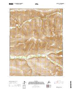
2017 Map of Bettles C-1 NW
USGS Topo · Published 2017About this map
N Fork Bonanza Creek and South Fork Bonanza Creek define the drainage patterns of this sub-arctic landscape in the Yukon-Koyukuk region. The topography is dominated by significant elevation changes, with contours illustrating the high ridges and deep valleys that separate these two primary watercourses. This 2017 survey by the U.S. Geological Survey shows a wilderness area defined almost entirely by its physical geography, with no human settlements, roads, or structures indicated. The map covers portions of multiple townships including t22n r14w, t22n r13w, t21n r14w, and t21n r13w, providing a detailed look at the land's natural state where the forks of the Bonanza Creek system converge and diverge across the tundra.
Find a feature on this map
7 named features on this map. Tap any name to fly to it.
Don’t see what you’re looking for? This feature index may not catch every label — zoom into the map to look around manually.
Map Details
Editions of this 2017 Bettles C-1 NW Map
This is the sole edition of this map. No revisions or reprints were ever made.
Other maps of this area

1951 · Bettles
USGS Topo · 1:250,000

1956 · Bettles
USGS Topo · 1:250,000
1970 · Bettles D-1
USGS Topo · 1:63,360
1970 · Bettles C-1
USGS Topo · 1:63,360

1970 · Bettles C-2
USGS Topo · 1:63,360

1970 · Bettles D-2
USGS Topo · 1:63,360
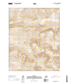
2017 · Bettles C-1 SW
USGS Topo · 1:25,000
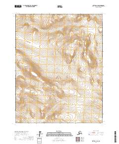
2017 · Bettles C-1 SE
USGS Topo · 1:25,000
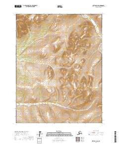
2017 · Bettles D-1 SE
USGS Topo · 1:25,000
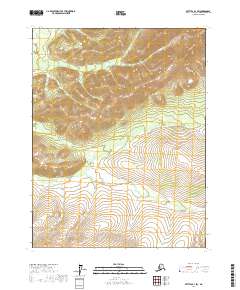
2017 · Bettles D-1 SW
USGS Topo · 1:25,000