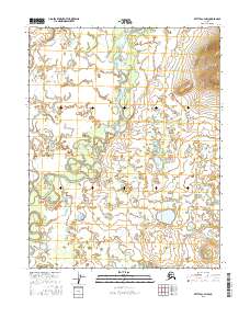
2016 Map of Bettles C-3 NW
USGS Topo · Published 2016About this map
The South Fork Koyukuk River meanders through this portion of the Yukon-Koyukuk region, defining a landscape dominated by complex hydrological patterns. This 2016 survey highlights a remote Alaskan wilderness where the river's path is marked by numerous oxbow lakes and abandoned channels, illustrating the dynamic nature of Arctic waterways. In the southern reach of the map, Fish Creek flows through the wetland-heavy terrain, contributing to the intricate drainage system. The map is organized by the Public Land Survey System, covering portions of t22n r18w, t22n r17w, t21n r18w, and t21n r17w. This document serves as a modern record of the shifting watercourses and topographical nuances of the Alaskan interior before further natural or environmental changes alter the river's course.
Find a feature on this map
6 named features on this map. Tap any name to fly to it.
Don’t see what you’re looking for? This feature index may not catch every label — zoom into the map to look around manually.
Map Details
Editions of this 2016 Bettles C-3 NW Map
This is the sole edition of this map. No revisions or reprints were ever made.
Other maps of this area

1951 · Bettles
USGS Topo · 1:250,000

1956 · Bettles
USGS Topo · 1:250,000

1970 · Bettles D-4
USGS Topo · 1:63,360

1970 · Bettles C-4
USGS Topo · 1:63,360

1970 · Bettles D-3
USGS Topo · 1:63,360
1970 · Bettles C-3
USGS Topo · 1:63,360
2016 · Bettles C-3 SE
USGS Topo · 1:25,000
2016 · Bettles C-3 NE
USGS Topo · 1:25,000
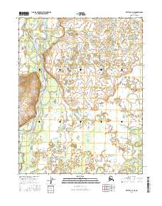
2016 · Bettles C-4 NE
USGS Topo · 1:25,000
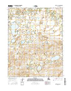
2016 · Bettles C-3 SW
USGS Topo · 1:25,000