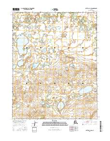
2016 Map of Bettles C-3 SW
USGS Topo · Published 2016About this map
Kanuti Flats dominates the northern landscape of this interior Alaska quadrangle, characterized by an intricate network of wetlands and meandering waterways. The drainage pattern is defined by Fish Creek, which feeds into the larger Fish Cr Lake in the northwest. To the south, the terrain transitions into a series of hills and basins holding isolated bodies of water such as Clawanmenka Lake and Kaldolyeit Lake. This 2016 survey provides a precise look at the hydrography of the region before any significant modern infrastructure reached these remote townships. The map documents the natural state of the Yukon-Koyukuk region, where the absence of roads emphasizes a wilderness defined entirely by its complex glacial and riverine features.
Find a feature on this map
11 named features on this map. Tap any name to fly to it.
Don’t see what you’re looking for? This feature index may not catch every label — zoom into the map to look around manually.
Map Details
Editions of this 2016 Bettles C-3 SW Map
This is the sole edition of this map. No revisions or reprints were ever made.
Other maps of this area

1951 · Bettles
USGS Topo · 1:250,000

1956 · Bettles
USGS Topo · 1:250,000
1970 · Bettles B-4
USGS Topo · 1:63,360

1970 · Bettles C-4
USGS Topo · 1:63,360
1970 · Bettles B-3
USGS Topo · 1:63,360
1970 · Bettles C-3
USGS Topo · 1:63,360
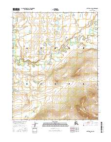
2016 · Bettles C-3 SE
USGS Topo · 1:25,000
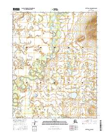
2016 · Bettles C-3 NW
USGS Topo · 1:25,000
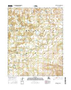
2016 · Bettles B-4 NE
USGS Topo · 1:25,000
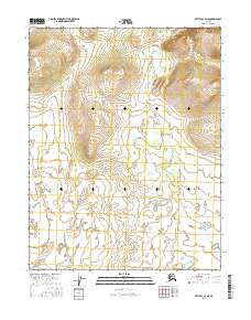
2016 · Bettles C-3 NE
USGS Topo · 1:25,000