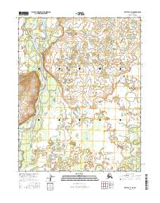
2016 Map of Bettles C-4 NE
USGS Topo · Published 2016About this map
Koyukuk River dominates the western edge of this interior Alaska landscape, carving a wide, braided path through the Yukon-Koyukuk region. The river's serpentine course is defined by intricate meanders and numerous oxbow lakes, illustrating the shifting hydrology of this subarctic environment. To the southeast, the South Fork Koyukuk River flows across the terrain, while Hanzegah Cr feeds into the primary river system from the north. This 2016 survey documents the complex wetland and water patterns within the townships of t22n r19w and t21n r19w, highlighting a wilderness shaped by seasonal freeze and thaw cycles rather than permanent human infrastructure.
Find a feature on this map
7 named features on this map. Tap any name to fly to it.
Don’t see what you’re looking for? This feature index may not catch every label — zoom into the map to look around manually.
Map Details
Editions of this 2016 Bettles C-4 NE Map
This is the sole edition of this map. No revisions or reprints were ever made.
Other maps of this area

1951 · Bettles
USGS Topo · 1:250,000

1956 · Bettles
USGS Topo · 1:250,000

1970 · Bettles D-4
USGS Topo · 1:63,360

1970 · Bettles C-4
USGS Topo · 1:63,360

1970 · Bettles D-3
USGS Topo · 1:63,360
1970 · Bettles C-3
USGS Topo · 1:63,360
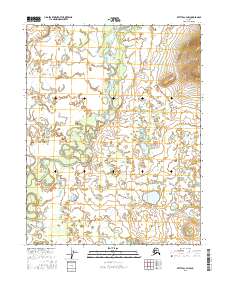
2016 · Bettles C-3 NW
USGS Topo · 1:25,000
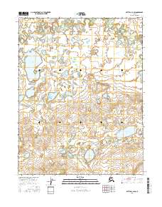
2016 · Bettles C-3 SW
USGS Topo · 1:25,000
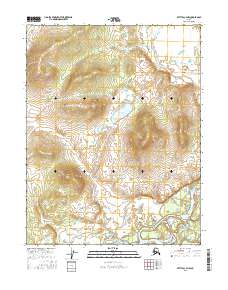
2016 · Bettles C-4 NW
USGS Topo · 1:25,000
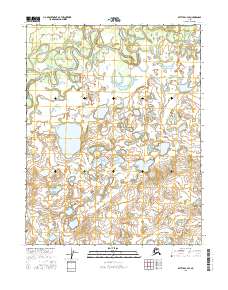
2016 · Bettles C-4 SE
USGS Topo · 1:25,000