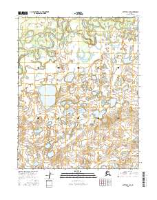
2016 Map of Bettles C-4 SE
USGS Topo · Published 2016About this map
Kanuti Flats dominates this portion of the Alaskan interior, revealing a complex aquatic landscape where the South Fork Koyukuk River meanders through a vast wetland ecosystem. This 2016 survey documents the intricate hydrologic patterns of the region, including the broad Minnkokut Lake and the smaller Fish Cr to the northeast. The absence of roads or established settlements emphasizes the wilderness character of the Yukon-Koyukuk region, where the terrain is defined by low-lying basins and an expansive network of nameless ponds and marshes. The map provides a high-resolution look at the shifting channels and oxbow lakes created by the river's path, serving as a baseline for understanding the environmental geography of the Koyukuk watershed.
Find a feature on this map
10 named features on this map. Tap any name to fly to it.
Don’t see what you’re looking for? This feature index may not catch every label — zoom into the map to look around manually.
Map Details
Editions of this 2016 Bettles C-4 SE Map
This is the sole edition of this map. No revisions or reprints were ever made.
Other maps of this area

1951 · Bettles
USGS Topo · 1:250,000

1956 · Bettles
USGS Topo · 1:250,000
1970 · Bettles B-4
USGS Topo · 1:63,360

1970 · Bettles C-4
USGS Topo · 1:63,360
1970 · Bettles B-3
USGS Topo · 1:63,360
1970 · Bettles C-3
USGS Topo · 1:63,360
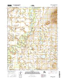
2016 · Bettles C-3 NW
USGS Topo · 1:25,000
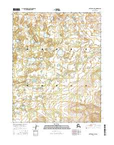
2016 · Bettles B-4 NE
USGS Topo · 1:25,000
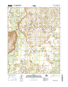
2016 · Bettles C-4 NE
USGS Topo · 1:25,000
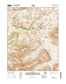
2016 · Bettles B-3 NW
USGS Topo · 1:25,000