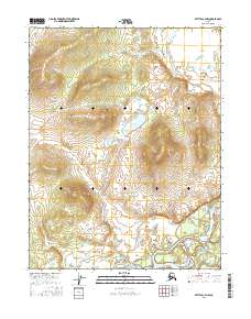
2016 Map of Bettles C-4 NW
USGS Topo · Published 2016About this map
Koyukuk River dominates the southern reaches of this interior landscape, weaving through a complex network of wetlands and seasonal ponds. The drainage basin is defined by several key tributaries, including Peavey Cr and Fickett Cr, which flow through the upland terrain of t22n r20w and t21n r20w. At the center of the sheet, Hawzerah Lake sits as a significant water body fed by Hawzerah Cr, illustrating the hydrological patterns of the Yukon-Koyukuk region. The map reflects a remote wilderness with no recorded settlements or roads, focusing entirely on the natural topography and the intricate waterways that have historically served as the primary routes for travel and subsistence in this part of Alaska.
Find a feature on this map
9 named features on this map. Tap any name to fly to it.
Don’t see what you’re looking for? This feature index may not catch every label — zoom into the map to look around manually.
Map Details
Editions of this 2016 Bettles C-4 NW Map
This is the sole edition of this map. No revisions or reprints were ever made.
Other maps of this area

1951 · Bettles
USGS Topo · 1:250,000

1956 · Bettles
USGS Topo · 1:250,000

1970 · Bettles D-4
USGS Topo · 1:63,360

1970 · Bettles C-4
USGS Topo · 1:63,360
1970 · Bettles C-5
USGS Topo · 1:63,360
1970 · Bettles D-5
USGS Topo · 1:63,360
2016 · Bettles C-4 NE
USGS Topo · 1:25,000
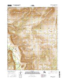
2016 · Bettles C-5 NE
USGS Topo · 1:25,000
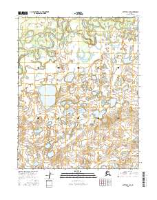
2016 · Bettles C-4 SE
USGS Topo · 1:25,000
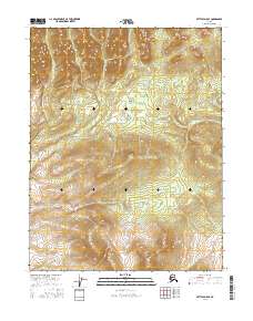
2016 · Bettles D-5 SE
USGS Topo · 1:25,000