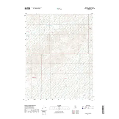
2017 Map of Bettles D-2 NE
USGS Topo · Published 2017About this map
The Alaska Pipeline and the adjacent Dalton Highway cut through this remote interior Alaskan landscape, following a narrow transportation corridor in the southeastern corner of the quadrangle. This infrastructure is the primary human imprint on a terrain otherwise defined by its drainage systems. The South Fork Koyukuk River meanders across the northern sections, fed by tributaries including John R Cr and Eagle Cr. To the south, the Jim River and its feeder Sluice Cr move through a low-lying basin characterized by extensive wetlands. The contrast between the rigid, engineered line of the pipeline and the wandering paths of Hudson Brook and other natural waterways illustrates the intersection of industrial energy needs and subarctic hydrology during the early 21st century.
Find a feature on this map
13 named features on this map. Tap any name to fly to it.
Don’t see what you’re looking for? This feature index may not catch every label — zoom into the map to look around manually.
Map Details
Editions of this 2017 Bettles D-2 NE Map
This is the sole edition of this map. No revisions or reprints were ever made.
Other maps of this area

1951 · Bettles
USGS Topo · 1:250,000

1951 · Wiseman
USGS Topo · 1:250,000

1956 · Bettles
USGS Topo · 1:250,000

1956 · Wiseman
USGS Topo · 1:250,000

1964 · Wiseman
USGS Topo · 1:250,000

1970 · Wiseman A-1
USGS Topo · 1:63,360
1970 · Bettles D-1
USGS Topo · 1:63,360

1970 · Wiseman A-2
USGS Topo · 1:63,360

1970 · Bettles D-2
USGS Topo · 1:63,360
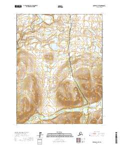
2017 · Wiseman A-1 SW
USGS Topo · 1:25,000