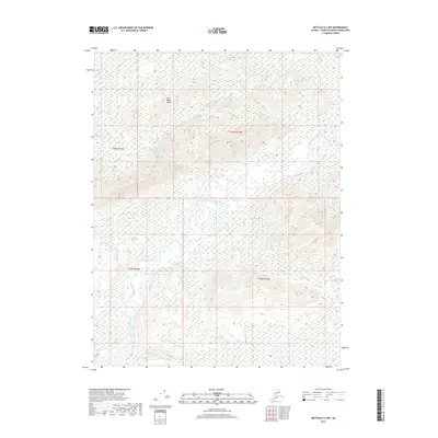
2017 Map of Bettles D-2 NW
USGS Topo · Published 2017About this map
Jack White Range dominates the northern topography of this 2017 study, where the peaks overlook a complex network of glacial and riverine features. The South Fork Koyukuk River winds through the central and southern portions of the landscape, creating a broad valley floor characterized by numerous oxbows and marshy lowlands. This hydrological pattern indicates a low-gradient drainage system typical of the interior Yukon-Koyukuk region, where the river's path is constantly redefined by seasonal shifts. Tributaries such as Harriet Cr, Eldorado Cr, and Squaw Cr feed into the main waterway from the surrounding heights, illustrating the drainage profile of the local watershed between the mountain ranges and the river basin.
Find a feature on this map
9 named features on this map. Tap any name to fly to it.
Don’t see what you’re looking for? This feature index may not catch every label — zoom into the map to look around manually.
Map Details
Editions of this 2017 Bettles D-2 NW Map
This is the sole edition of this map. No revisions or reprints were ever made.
Other maps of this area

1951 · Bettles
USGS Topo · 1:250,000

1951 · Wiseman
USGS Topo · 1:250,000

1956 · Bettles
USGS Topo · 1:250,000

1956 · Wiseman
USGS Topo · 1:250,000

1964 · Wiseman
USGS Topo · 1:250,000

1970 · Wiseman A-3
USGS Topo · 1:63,360

1970 · Wiseman A-2
USGS Topo · 1:63,360

1970 · Bettles D-3
USGS Topo · 1:63,360

1970 · Bettles D-2
USGS Topo · 1:63,360
2016 · Wiseman A-3 SE
USGS Topo · 1:25,000