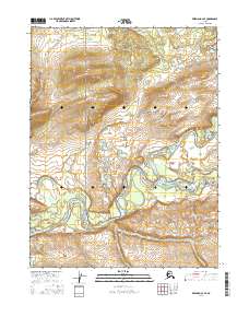
2016 Map of Wiseman A-3 SE
USGS Topo · Published 2016About this map
Gates of the Arctic National Park encompasses much of this interior Alaskan landscape, where the confluence of major waterways defines the local geography. The North Fork Koyukuk River and the Middle Fork Koyukuk River join to form the main stem of the Koyukuk River, creating a complex network of channels and sandbars. This 2016 survey illustrates the intricate drainage patterns of the Brooks Range foothills, where smaller tributaries like Florence Cr, Harriet Cr, and Pope Cr flow through deeply etched valleys. The map provides a detailed view of these riparian corridors before they reach the larger river systems. Without roads or permanent settlements, the terrain is shaped entirely by the movement of water and the shifting boundaries of the wilderness, offering a precise look at the natural state of the Yukon-Koyukuk region.
Find a feature on this map
14 named features on this map. Tap any name to fly to it.
Don’t see what you’re looking for? This feature index may not catch every label — zoom into the map to look around manually.
Map Details
Editions of this 2016 Wiseman A-3 SE Map
This is the sole edition of this map. No revisions or reprints were ever made.
Other maps of this area

1951 · Bettles
USGS Topo · 1:250,000

1951 · Wiseman
USGS Topo · 1:250,000

1956 · Bettles
USGS Topo · 1:250,000

1956 · Wiseman
USGS Topo · 1:250,000

1964 · Wiseman
USGS Topo · 1:250,000

1970 · Wiseman A-3
USGS Topo · 1:63,360

1970 · Wiseman A-2
USGS Topo · 1:63,360

1970 · Bettles D-3
USGS Topo · 1:63,360

1970 · Bettles D-2
USGS Topo · 1:63,360
2016 · Wiseman A-3 NW
USGS Topo · 1:25,000