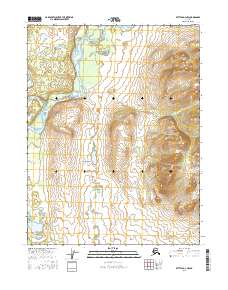
2016 Map of Bettles D-3 NW
USGS Topo · Published 2016About this map
Evansville sits at the heart of this Interior Alaska landscape, positioned near the southern reaches of Birch Hill. The settlement is defined by its relationship to the water, located just east of the Wild River and south of the prominent Koyukuk River. To the west, the Hickel Highway cuts through the territory, representing a vital overland connection in this remote region. The terrain is marked by significant hydrological features including Birch Hill Lake and the winding course of Jack White Cr as it drains the eastern slopes. This 2016 survey provides a clear view of the modern infrastructure and natural drainages that sustain this subarctic community.
Find a feature on this map
11 named features on this map. Tap any name to fly to it.
Don’t see what you’re looking for? This feature index may not catch every label — zoom into the map to look around manually.
Map Details
Editions of this 2016 Bettles D-3 NW Map
This is the sole edition of this map. No revisions or reprints were ever made.
Other maps of this area

1951 · Bettles
USGS Topo · 1:250,000

1951 · Wiseman
USGS Topo · 1:250,000

1956 · Bettles
USGS Topo · 1:250,000

1956 · Wiseman
USGS Topo · 1:250,000

1964 · Wiseman
USGS Topo · 1:250,000

1970 · Bettles D-4
USGS Topo · 1:63,360

1970 · Wiseman A-4
USGS Topo · 1:63,360

1970 · Wiseman A-3
USGS Topo · 1:63,360

1970 · Bettles D-3
USGS Topo · 1:63,360
2016 · Wiseman A-4 SE
USGS Topo · 1:25,000