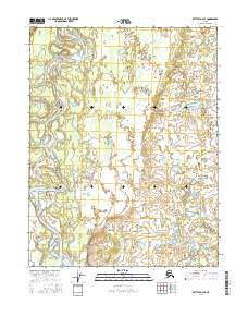
2016 Map of Bettles D-4 SE
USGS Topo · Published 2016About this map
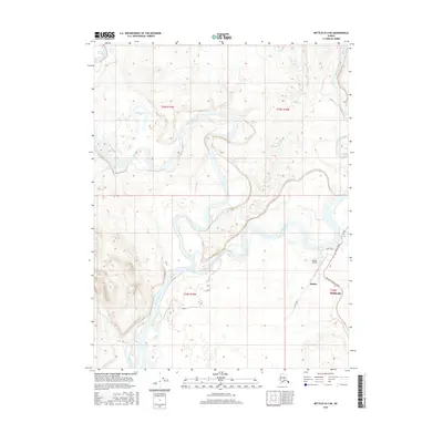
The Koyukuk River winds through this subarctic terrain, defining the movement of water across a landscape of ancient riverbeds and low-lying marshes. This 2016 survey by the U.S. Geological Survey reveals the intricate hydrological patterns of the Yukon-Koyukuk region, where the river's path is marked by dramatic meanders and oxbow formations. A primary feature of this reach is Moore Island, a large landmass situated within the river's main channel. The map provides a precise look at the township and range divisions, including t24n r19w and t23n r19w, illustrating how the Public Land Survey System overlays this largely unpopulated wilderness. The absence of roads or permanent settlements emphasizes the character of the Alaskan interior, where the river serves as the primary corridor for travel and seasonal activity.
Find a feature on this map
8 named features on this map. Tap any name to fly to it.
Don’t see what you’re looking for? This feature index may not catch every label — zoom into the map to look around manually.
Map Details
Editions of this 2016 Bettles D-4 SE Map
This is the sole edition of this map. No revisions or reprints were ever made.
Other maps of this area

1951 · Bettles
USGS Topo · 1:250,000

1956 · Bettles
USGS Topo · 1:250,000

1970 · Bettles D-4
USGS Topo · 1:63,360

1970 · Bettles C-4
USGS Topo · 1:63,360

1970 · Bettles D-3
USGS Topo · 1:63,360
1970 · Bettles C-3
USGS Topo · 1:63,360
2016 · Bettles C-3 NW
USGS Topo · 1:25,000
2016 · Bettles C-4 NE
USGS Topo · 1:25,000
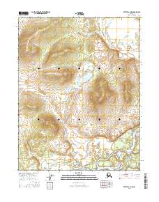
2016 · Bettles C-4 NW
USGS Topo · 1:25,000
2016 · Bettles D-4 NE
USGS Topo · 1:25,000