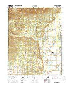
2016 Map of Bettles D-4 SW
USGS Topo · Published 2016About this map
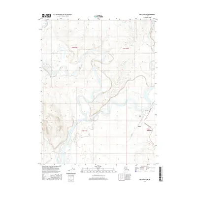
Fickett Cr and Peavey Cr define the drainage patterns across this interior Alaskan landscape within the t23n r20w and t24n r20w townships. The hydrology of the region is further characterized by the presence of Moore Island, situated in the eastern reaches where the terrain flattens toward riverine features. This 2016 survey provides a precise topographic look at the drainage basins and elevation contours that shape the local wilderness. The map is primarily an environmental study of unnamed high ground and low-lying wetlands, serving as a modern baseline for understanding the physical geography of the Bettles D-4 SW quadrangle.
Find a feature on this map
9 named features on this map. Tap any name to fly to it.
Don’t see what you’re looking for? This feature index may not catch every label — zoom into the map to look around manually.
Map Details
Editions of this 2016 Bettles D-4 SW Map
This is the sole edition of this map. No revisions or reprints were ever made.
Other maps of this area

1951 · Bettles
USGS Topo · 1:250,000

1956 · Bettles
USGS Topo · 1:250,000

1970 · Bettles D-4
USGS Topo · 1:63,360

1970 · Bettles C-4
USGS Topo · 1:63,360
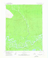
1970 · Bettles C-5
USGS Topo · 1:63,360
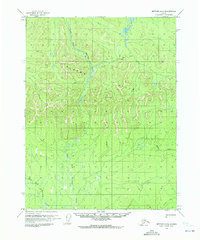
1970 · Bettles D-5
USGS Topo · 1:63,360
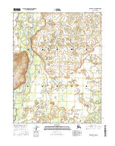
2016 · Bettles C-4 NE
USGS Topo · 1:25,000
2016 · Bettles C-4 NW
USGS Topo · 1:25,000
2016 · Bettles C-5 NE
USGS Topo · 1:25,000
2016 · Bettles D-4 NE
USGS Topo · 1:25,000