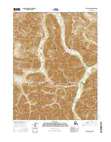
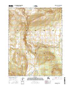
2016 Map of Bettles D-5 NW
USGS Topo · Published 2016About this map
E Fork Henshaw Cr defines the central drainage of this interior Alaskan landscape, winding through a valley flanked by significant topographic elevations. To the east, the Alatna Hills rise sharply, while the Becks Hills mark the southeastern reaches of the quadrangle. This 2016 survey by the U.S. Geological Survey illustrates the remote character of the Yukon-Koyukuk region, where the terrain is dominated by wilderness rather than human settlement. The map serves as a primary record of natural landforms and hydrological patterns in a subarctic environment, capturing the untouched state of the hills and creek systems as they appeared in the early 21st century.
Find a feature on this map
7 named features on this map. Tap any name to fly to it.
Don’t see what you’re looking for? This feature index may not catch every label — zoom into the map to look around manually.
Map Details
Editions of this 2016 Bettles D-5 NW Map
This is the sole edition of this map. No revisions or reprints were ever made.
Other maps of this area

1951 · Bettles
USGS Topo · 1:250,000

1951 · Wiseman
USGS Topo · 1:250,000

1956 · Bettles
USGS Topo · 1:250,000

1956 · Wiseman
USGS Topo · 1:250,000

1964 · Wiseman
USGS Topo · 1:250,000
1970 · Wiseman A-6
USGS Topo · 1:63,360
1970 · Bettles D-6
USGS Topo · 1:63,360

1970 · Wiseman A-5
USGS Topo · 1:63,360
1970 · Bettles D-5
USGS Topo · 1:63,360
2016 · Wiseman A-5 SE
USGS Topo · 1:25,000