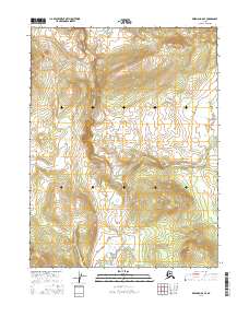
2016 Map of Wiseman A-5 SE
USGS Topo · Published 2016About this map
Malamute Fork winds through this interior Alaskan wilderness, carving a distinct valley through the high ridges of the Yukon-Koyukuk region. This 2016 survey highlights the intricate drainage patterns of the fork as it transitions from southward to eastward flows, flanked by elevations that climb steadily toward the surrounding peaks. The landscape is defined by the absence of permanent human infrastructure, showing a terrain shaped entirely by natural hydrology and the sharp relief of the Brooks Range foothills. The map provides a high-resolution study of the Malamute Fork basin, offering researchers a precise look at the landforms and riparian corridors in this isolated portion of the north before any modern development or road networks reached this specific corridor.
Find a feature on this map
7 named features on this map. Tap any name to fly to it.
Don’t see what you’re looking for? This feature index may not catch every label — zoom into the map to look around manually.
Map Details
Editions of this 2016 Wiseman A-5 SE Map
This is the sole edition of this map. No revisions or reprints were ever made.
Other maps of this area

1951 · Bettles
USGS Topo · 1:250,000

1951 · Wiseman
USGS Topo · 1:250,000

1956 · Bettles
USGS Topo · 1:250,000

1956 · Wiseman
USGS Topo · 1:250,000

1964 · Wiseman
USGS Topo · 1:250,000

1970 · Bettles D-4
USGS Topo · 1:63,360

1970 · Wiseman A-4
USGS Topo · 1:63,360

1970 · Wiseman A-5
USGS Topo · 1:63,360
1970 · Bettles D-5
USGS Topo · 1:63,360
2016 · Wiseman A-4 NW
USGS Topo · 1:25,000