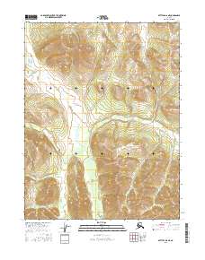
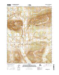
2016 Map of Bettles D-6 NE
USGS Topo · Published 2016About this map
Alatna Hills rise above the drainage of the W Fork Henshaw Cr in this remote section of the Yukon-Koyukuk region. This 2016 survey highlights a landscape dominated by dramatic elevation changes, where high ridges and steep valleys dictate the natural flow of water toward the south. The serpentine path of the W Fork Henshaw Cr cuts through the western and central portions of the quadrangle, illustrating the complex hydrology of the Alaskan interior. The map reveals the township and range divisions of t25n r24w and t24n r23w, reflecting the systematic grid applied to this wilderness. For those studying the geography of Northern Alaska, this document provides a clear look at the topographic relief and untouched drainages of the Brooks Range foothills.
Find a feature on this map
6 named features on this map. Tap any name to fly to it.
Don’t see what you’re looking for? This feature index may not catch every label — zoom into the map to look around manually.
Map Details
Editions of this 2016 Bettles D-6 NE Map
This is the sole edition of this map. No revisions or reprints were ever made.
Other maps of this area

1951 · Bettles
USGS Topo · 1:250,000

1951 · Wiseman
USGS Topo · 1:250,000

1956 · Bettles
USGS Topo · 1:250,000

1956 · Wiseman
USGS Topo · 1:250,000

1964 · Wiseman
USGS Topo · 1:250,000
1970 · Wiseman A-6
USGS Topo · 1:63,360
1970 · Bettles D-6
USGS Topo · 1:63,360

1970 · Wiseman A-5
USGS Topo · 1:63,360
1970 · Bettles D-5
USGS Topo · 1:63,360
2016 · Wiseman A-5 SW
USGS Topo · 1:25,000