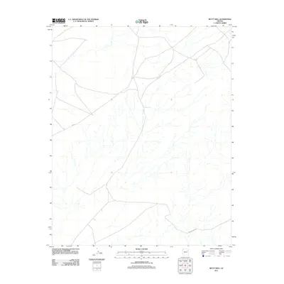
2011 Map of Betty Well
USGS Topo · Published 2011About this map
Betty Well sits at the center of this 2011 landscape in the Fort Defiance Agency region of Arizona. The map illustrates a high-desert environment defined by a dense network of intermittent drainage channels that carve through the terrain. Human infrastructure is focused primarily on navigation and water access, featuring remote thoroughfares such as Tanner Springs Rd and N-9003. These desert routes connect the solitary water source of the well to the broader geography of the Navajo Nation. The intricate hydrography shown here provides a clear look at how natural water flow dictates the layout of modern ranching or tribal transit routes in this arid corner of the American Southwest.
Find a feature on this map
3 named features on this map. Tap any name to fly to it.
Don’t see what you’re looking for? This feature index may not catch every label — zoom into the map to look around manually.
Map Details
Editions of this 2011 Betty Well Map
This is the sole edition of this map. No revisions or reprints were ever made.
Other maps of this area

1886 · Fort Defiance
USGS Topo · 1:250,000

1892 · Fort Defiance
USGS Topo · 1:250,000

1954 · Gallup
USGS Topo · 1:250,000

1958 · Gallup
USGS Topo · 1:250,000

1959 · Gallup
USGS Topo · 1:250,000

1962 · Gallup
USGS Topo · 1:250,000

1967 · Gallup
USGS Topo · 1:250,000
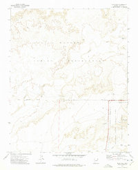
1972 · Pilot Rock
USGS Topo · 1:24,000
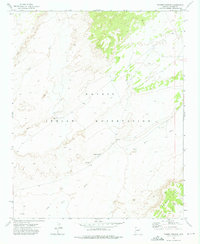
1972 · Tanner Springs
USGS Topo · 1:24,000
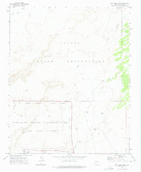
1972 · North Mill Well
USGS Topo · 1:24,000