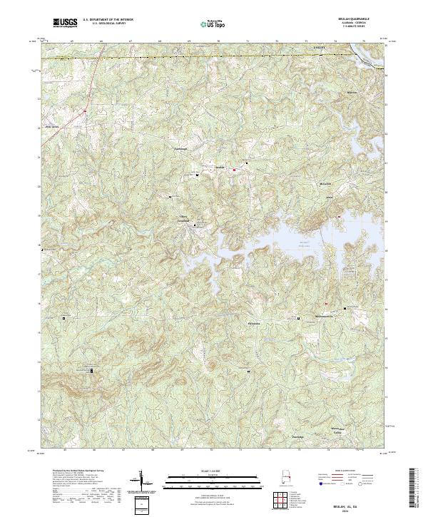
2024 Map of Beulah
USGS Topo · Published 2024About this map
Bartletts Ferry Lake dominates the central landscape of this 2024 map, marking the border between Georgia and Alabama where the waters have submerged older terrain. Along the western shores, the community of Beulah sits amidst a network of country roads like Yarbrough Rd and Lee Road 374. The area is notably dense with family and community history, evidenced by numerous burial sites including the John Calhoun Tillery Cem and the Rocky Mount Cem.
Find a feature on this map
116 named features on this map. Tap any name to fly to it.
Don’t see what you’re looking for? This feature index may not catch every label — zoom into the map to look around manually.
Map Details
Editions of this 2024 Beulah Map
This is the sole edition of this map. No revisions or reprints were ever made.
Historical Maps of Yarbrough Through Time
10 maps found
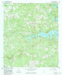
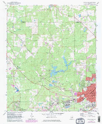
1965 Beulah
Lee County, AL
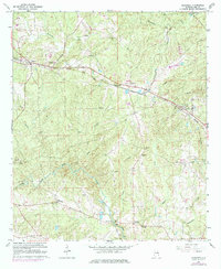
1965 Bleecker
Lee County, AL
1970 Opelika East
Lee County, AL
1971 Opelika West
Lee County, AL
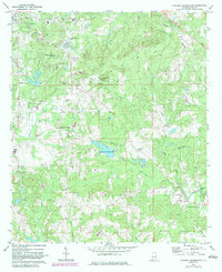
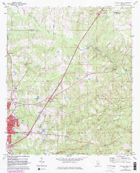
1971 Parkers Crossroads
Lee County, AL
2024 Beulah
Lee County, AL
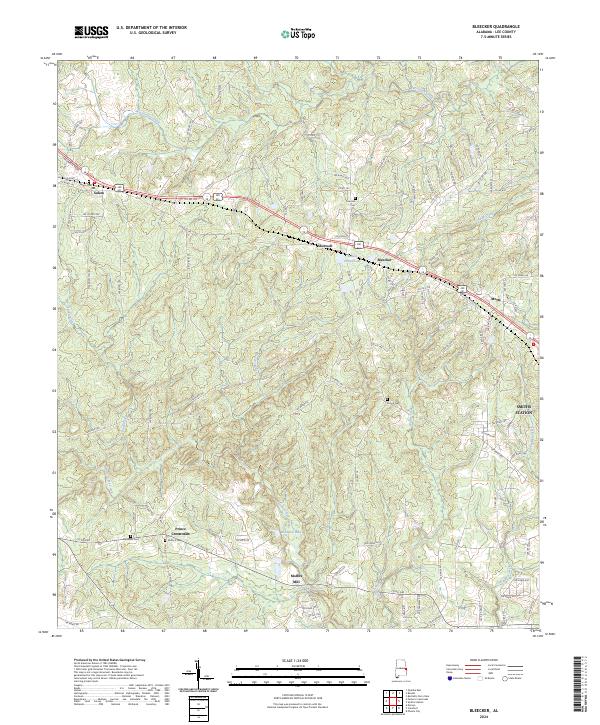
2024 Bleecker
Lee County, AL
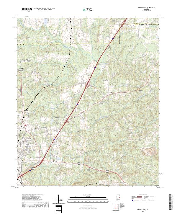
2024 Opelika East
Lee County, AL
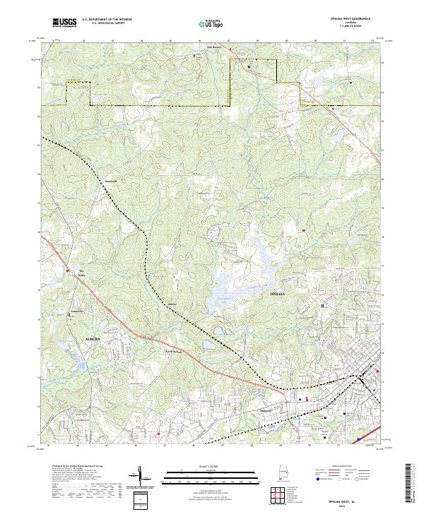
2024 Opelika West
Lee County, AL
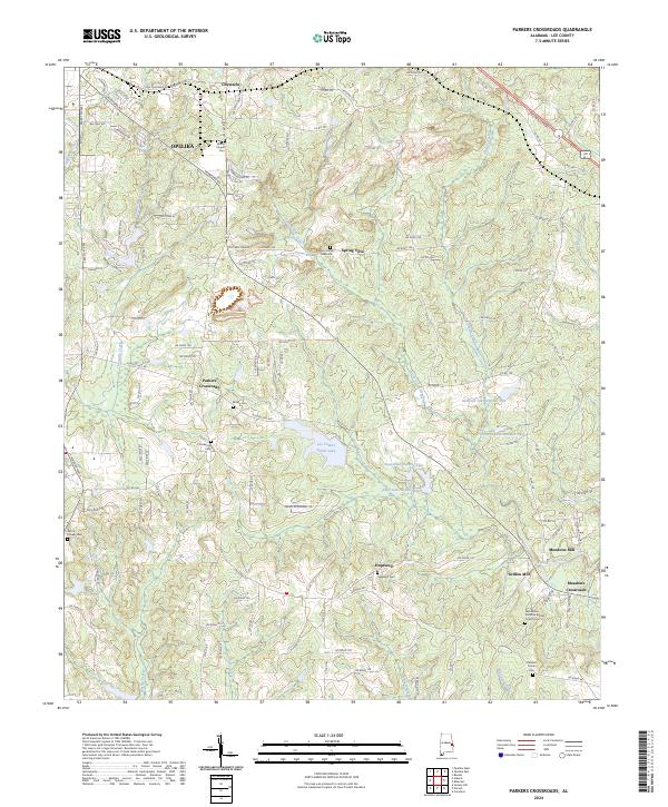
2024 Parkers Crossroads
Lee County, AL