
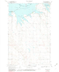
1969 Map of Beulah NE
USGS Topo · Published 1971About this map
Lake Sakakawea dominates the northern landscape of this Mercer County region, its rising waters shaping the inlets of Renner Bay and Beulah Bay. The shoreline and surrounding uplands are largely defined by conservation efforts, including the Hille State Game Management Area and the Beaver Creek State Game Management Area, illustrating the transition of the Missouri River valley into a managed reservoir system.
Find a feature on this map
15 named features on this map. Tap any name to fly to it.
Don’t see what you’re looking for? This feature index may not catch every label — zoom into the map to look around manually.
Map Details
Editions of this 1969 Beulah NE Map
2 editions found
Other maps of this area

1954 · McClusky
USGS Topo · 1:250,000

1958 · McClusky
USGS Topo · 1:250,000

1967 · Blackwater Lake SE
USGS Topo · 1:24,000

1967 · Blackwater Lake SW
USGS Topo · 1:24,000

1967 · Emmet SW
USGS Topo · 1:24,000

1968 · Beulah
USGS Topo · 1:24,000

1968 · Hazen West
USGS Topo · 1:24,000
1969 · Hazen NW
USGS Topo · 1:24,000
1969 · Beulah NW
USGS Topo · 1:24,000

1969 · Zap
USGS Topo · 1:24,000