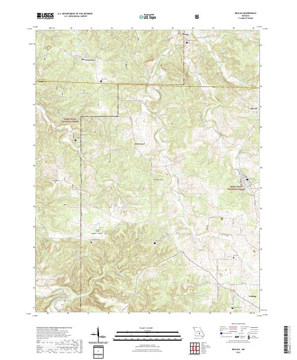
2021 Map of Beulah
USGS Topo · Published 2021About this map
The Missouri Ozarks are mapped here in the northern reaches of Texas County, characterized by a transition from the wooded uplands of the Mark Twain National Forest to the agricultural pockets and small settlements that define the region. The landscape is marked by unique geologic features like Zenender Sink, a testament to the karst topography common in this area. A network of rural communities, including Beulah, Blooming Rose, Kinderpost, and Sherrill, are connected by winding county roads and state highways such as State Hwy K and Highway N.
Find a feature on this map
61 named features on this map. Tap any name to fly to it.
Don’t see what you’re looking for? This feature index may not catch every label — zoom into the map to look around manually.
Map Details
Editions of this 2021 Beulah Map
This is the sole edition of this map. No revisions or reprints were ever made.
Other maps of this area

1937 · Edgar Springs
USGS Topo · 1:48,000

1941 · Big Piney
USGS Topo · 1:62,500

1941 · Bado
USGS Topo · 1:62,500

1943 · Big Piney
USGS Topo · 1:62,500

1943 · Bado
USGS Topo · 1:62,500

1945 · Edgar Springs
USGS Topo · 1:62,500

1949 · Rolla
USGS Topo · 1:250,000

1951 · Licking
USGS Topo · 1:24,000

1951 · Prescott
USGS Topo · 1:24,000

1951 · Raymondville
USGS Topo · 1:62,500