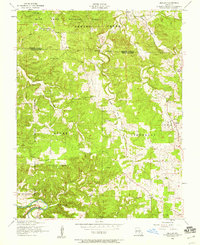
1954 Map of Beulah
USGS Topo · Published 1959About this map
Mark Twain National Forest dominates this mid-century landscape where the boundaries of Phelps and Texas counties meet. The area is defined by a network of drainage systems like Spring Creek and Sherrill Creek that carve through the Ozark terrain, leading toward the Big Piney River in the southwest corner. Local life in the early 1950s centered around small settlements such as Beulah, Kinderpost, and Sherrill, supported by rural infrastructure including the Walnut Ridge School and Blooming Rose School.
Find a feature on this map
30 named features on this map. Tap any name to fly to it.
Don’t see what you’re looking for? This feature index may not catch every label — zoom into the map to look around manually.
Map Details
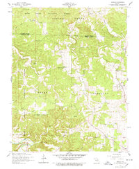
Editions of this 1954 Beulah Map
2 editions found
Other maps of this area

1937 · Edgar Springs
USGS Topo · 1:48,000

1941 · Big Piney
USGS Topo · 1:62,500

1941 · Bado
USGS Topo · 1:62,500

1943 · Big Piney
USGS Topo · 1:62,500

1943 · Bado
USGS Topo · 1:62,500

1945 · Edgar Springs
USGS Topo · 1:62,500

1949 · Rolla
USGS Topo · 1:250,000

1951 · Licking
USGS Topo · 1:24,000

1951 · Prescott
USGS Topo · 1:24,000

1951 · Raymondville
USGS Topo · 1:62,500