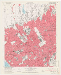
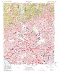
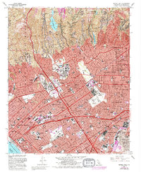
1966 Map of Beverly Hills
USGS Topo · Published 1968About this map
Beverly Hills and the Westside of Los Angeles appear in high detail during the mid-1960s, a period of massive post-war transformation and institutional growth. The campus of the Univ of California at Los Angeles sits at the heart of Westwood, while the emerging skyline of Century City takes shape on land once used for film production. This survey captures the spatial relationship between the wealthy residential enclaves of Bel Air and Brentwood and the older agricultural heritage of the region, visible in the underlying land grant boundaries such as Rodeo de las Aguas and Buenos Ayres.
Find a feature on this map
137 named features on this map. Tap any name to fly to it.
Don’t see what you’re looking for? This feature index may not catch every label — zoom into the map to look around manually.
Map Details
Editions of this 1966 Beverly Hills Map
6 editions found
Other maps of this area

1894 · Los Angeles
USGS Topo · 1:62,500

1896 · Redondo
USGS Topo · 1:62,500

1896 · Santa Monica
USGS Topo · 1:62,500

1898 · Santa Monica
USGS Topo · 1:62,500

1900 · Los Angeles
USGS Topo · 1:62,500

1901 · Southern California Sheet No. 1
USGS Topo · 1:250,000

1902 · Santa Monica
USGS Topo · 1:62,500

1903 · Calabasas
USGS Topo · 1:62,500

1903 · Camulos
USGS Topo · 1:125,000

1904 · Southern California Sheet No. 1
USGS Topo · 1:250,000