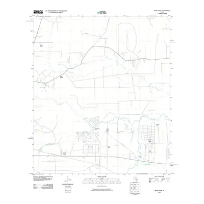
2010 Map of Bevil Oaks
USGS Topo · Published 2010About this map
Pine Island Bayou and its numerous tributaries dominate this Southeast Texas landscape, defining the boundaries and development patterns of the region. The map reveals the expansion of residential areas like Bevil Oaks and Bevil Acres amidst a network of natural drainage features known locally as gullies, including Tenmile Gully and Clay Gully. The presence of Sour Lake Prairie indicates the persistence of distinct ecological zones even as road networks like S Loop Rd and Eastex Ridge Rd modernize the transit corridor.
Find a feature on this map
37 named features on this map. Tap any name to fly to it.
Don’t see what you’re looking for? This feature index may not catch every label — zoom into the map to look around manually.
Map Details
Editions of this 2010 Bevil Oaks Map
This is the sole edition of this map. No revisions or reprints were ever made.
Other maps of this area

1932 · Beaumont
USGS Topo · 1:62,500

1954 · Beaumont
USGS Topo · 1:250,000

1955 · Silsbee
USGS Topo · 1:62,500

1955 · Kountze
USGS Topo · 1:62,500

1955 · Sour Lake
USGS Topo · 1:62,500

1957 · Beaumont
USGS Topo · 1:250,000
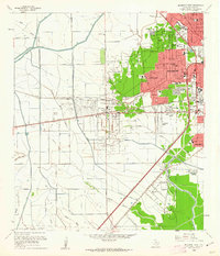
1960 · Beaumont West
USGS Topo · 1:24,000
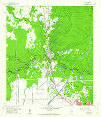
1960 · Voth
USGS Topo · 1:24,000

1984 · Beaumont
USGS Topo · 1:250,000
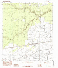
1984 · Nome
USGS Topo · 1:24,000