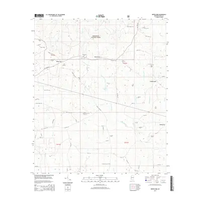
2015 Map of Bewelcome
USGS Topo · Published 2015About this map
Homochitto National Forest occupies the northern reaches of this Amite County landscape, where the headwaters of the W Fork Waggoner Cr and Merwin Cr carve through the timberland. The small community of Bewelcome sits at a central crossroads, surrounded by a dense network of family cemeteries that speak to the area's deep genealogical roots. Settlements like White Cap, Compromise, and Enterprise are connected by a web of rural routes including Berwick Cassels Rd and Busy Corner Rd. Notable for its concentration of burial sites, the map identifies local landmarks such as Big Antioch Cem Antioch Cem, the Sweet Home Cem, and the Bryant-Harris Cem, providing a precise look at the rural settlement patterns before the mid-2010s.
Find a feature on this map
84 named features on this map. Tap any name to fly to it.
Don’t see what you’re looking for? This feature index may not catch every label — zoom into the map to look around manually.
Map Details
Editions of this 2015 Bewelcome Map
This is the sole edition of this map. No revisions or reprints were ever made.
Other maps of this area

1953 · Natchez
USGS Topo · 1:250,000

1956 · Natchez
USGS Topo · 1:250,000

1959 · Natchez
USGS Topo · 1:250,000

1961 · Liberty
USGS Topo · 1:62,500

1961 · Crosby
USGS Topo · 1:62,500

1961 · Gloster
USGS Topo · 1:62,500

1962 · Bude
USGS Topo · 1:62,500

1984 · McComb
USGS Topo · 1:100,000

1984 · Woodville
USGS Topo · 1:100,000
1988 · Homochitto
USGS Topo · 1:24,000