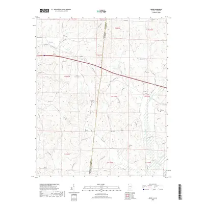
2018 Map of Bexar
USGS Topo · Published 2018About this map
Mississippi and Alabama meet along a north-south divide where Itawamba County joins Marion County, defining a landscape of creek-drained hills. The town of Tremont anchors the northwestern corner of the map, while Bexar serves as the focal point on the eastern side. This survey provides a look at the late 2010s rural infrastructure, where numerous local roads like State Line Rd SE and Howell Rd connect dispersed homesteads and burial grounds.
Find a feature on this map
81 named features on this map. Tap any name to fly to it.
Don’t see what you’re looking for? This feature index may not catch every label — zoom into the map to look around manually.
Map Details
Editions of this 2018 Bexar Map
This is the sole edition of this map. No revisions or reprints were ever made.
Other maps of this area

1936 · Vina
USGS Topo · 1:24,000

1950 · Vina
USGS Topo · 1:24,000

1951 · Vina
USGS Topo · 1:24,000

1956 · Tupelo
USGS Topo · 1:250,000

1958 · Tupelo
USGS Topo · 1:250,000

1965 · Fulton SE
USGS Topo · 1:24,000

1966 · Turon
USGS Topo · 1:24,000

1966 · Tremont
USGS Topo · 1:24,000
1967 · Weston
USGS Topo · 1:24,000
1967 · Henson Springs
USGS Topo · 1:24,000