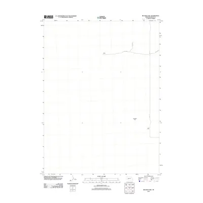
2011 Map of Big Bald Hill
USGS Topo · Published 2011About this map
Big Bald Hill stands as the central topographic feature in this quiet stretch of the Nebraska sandhills as they appeared in 2011. The landscape is defined by vast open terrain and the isolated outposts of local ranching operations, such as Barnt Ranch in the north and Rudd Ranch along the eastern edge. These family-named landmarks are connected by a sparse network of gravel and dirt routes, including Road E 250 and Road E 7 N. The map reflects the enduring rural character of Keith County, where the infrastructure is built primarily for agricultural access and livestock management across large-scale parcels.
Find a feature on this map
6 named features on this map. Tap any name to fly to it.
Don’t see what you’re looking for? This feature index may not catch every label — zoom into the map to look around manually.
Map Details
Editions of this 2011 Big Bald Hill Map
This is the sole edition of this map. No revisions or reprints were ever made.
Other maps of this area

1897 · Ogallala
USGS Topo · 1:125,000

1898 · Paxton
USGS Topo · 1:125,000

1900 · Ogallala
USGS Topo · 1:125,000

1901 · Paxton
USGS Topo · 1:125,000

1954 · North Platte
USGS Topo · 1:250,000

1956 · North Platte
USGS Topo · 1:250,000

1957 · North Platte
USGS Topo · 1:250,000

1967 · North Platte
USGS Topo · 1:250,000
1971 · Spotted Horse Valley
USGS Topo · 1:24,000
1971 · Glinn Ranch
USGS Topo · 1:24,000