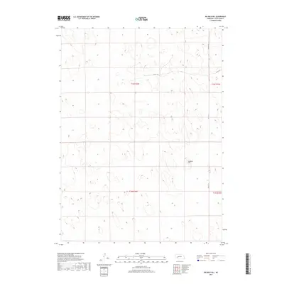
2017 Map of Big Bald Hill
USGS Topo · Published 2017About this map
Big Bald Hill anchors this section of Keith County, marking a high point in a landscape defined by the rolling Nebraska Sandhills. This 2017 survey illustrates the sparse, ranching-centric infrastructure of the region, where wide-open sections are occasionally bisected by local routes like Rd East 250 and Rd East T N. The map emphasizes the Public Land Survey System (PLSS) grid, showing the township boundaries of t16n r36w and t16n r35w. The lack of dense settlement or named towns highlights the rural character of the Nebraska panhandle, where land use is dictated by the natural topography of the dunes and the essential access provided by these few through-roads.
Find a feature on this map
7 named features on this map. Tap any name to fly to it.
Don’t see what you’re looking for? This feature index may not catch every label — zoom into the map to look around manually.
Map Details
Editions of this 2017 Big Bald Hill Map
This is the sole edition of this map. No revisions or reprints were ever made.
Other maps of this area

1897 · Ogallala
USGS Topo · 1:125,000

1898 · Paxton
USGS Topo · 1:125,000

1900 · Ogallala
USGS Topo · 1:125,000

1901 · Paxton
USGS Topo · 1:125,000

1954 · North Platte
USGS Topo · 1:250,000

1956 · North Platte
USGS Topo · 1:250,000

1957 · North Platte
USGS Topo · 1:250,000

1967 · North Platte
USGS Topo · 1:250,000
1971 · Spotted Horse Valley
USGS Topo · 1:24,000
1971 · Glinn Ranch
USGS Topo · 1:24,000