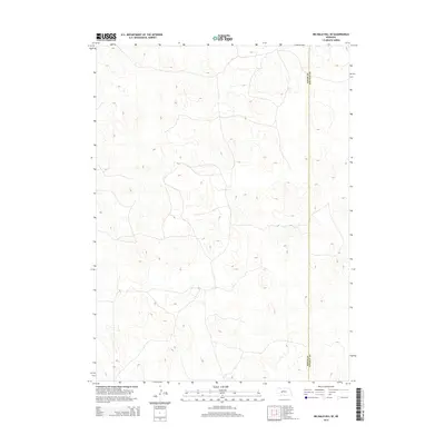
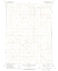
2014 Map of Big Bald Hill SE
USGS Topo · Published 2014About this map
Lincoln County terrain transitions across the Keith Co Lincoln Co boundary in this high-plains landscape. The topographic survey documents a series of unnamed ridges and hollows, characteristic of the Sandhills region, where the elevation stays consistently between 3,200 and 3,400 feet. This 2014 edition captures the modern road network and property divisions through subtle dashed lines, contrasting the natural drainage patterns with contemporary land management. While no named settlements appear on this specific sheet, the map serves as a vital record of the shifting border and physical geography between these two Nebraska counties.
Find a feature on this map
1 named feature on this map. Tap any name to fly to it.
Don’t see what you’re looking for? This feature index may not catch every label — zoom into the map to look around manually.
Map Details
Editions of this 2014 Big Bald Hill SE Map
This is the sole edition of this map. No revisions or reprints were ever made.
Other maps of this area

1898 · Paxton
USGS Topo · 1:125,000

1901 · Paxton
USGS Topo · 1:125,000

1954 · North Platte
USGS Topo · 1:250,000

1956 · North Platte
USGS Topo · 1:250,000

1957 · North Platte
USGS Topo · 1:250,000

1967 · North Platte
USGS Topo · 1:250,000
1971 · Nevens
USGS Topo · 1:24,000
1971 · Paxton North
USGS Topo · 1:24,000
1971 · Sutherland Reservoir NW
USGS Topo · 1:24,000
1972 · Applegate Ranch
USGS Topo · 1:24,000