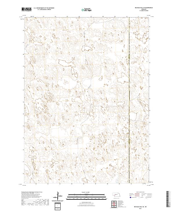
2021 Map of Big Bald Hill SE
USGS Topo · Published 2021About this map
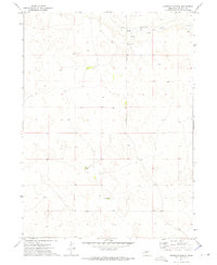
The county line between Keith Co and Lincoln Co bisects this landscape of the Nebraska Sandhills, revealing a terrain defined by sparse infrastructure and section-line orientation. Modern rural access is provided by a few designated tracks, including Rd East 250 in the northwest and Rd East V N and Rd East T N further south. This 2021 survey illustrates the continued importance of the Public Land Survey System in organizing the Western plains, with townships t16n r35w, t16n r34w, t15n r35w, and t15n r34w providing the primary geographical framework for land management in this cattle-ranching region.
Find a feature on this map
8 named features on this map. Tap any name to fly to it.
Don’t see what you’re looking for? This feature index may not catch every label — zoom into the map to look around manually.
Map Details
Editions of this 2021 Big Bald Hill SE Map
This is the sole edition of this map. No revisions or reprints were ever made.
Other maps of this area

1898 · Paxton
USGS Topo · 1:125,000

1901 · Paxton
USGS Topo · 1:125,000

1954 · North Platte
USGS Topo · 1:250,000

1956 · North Platte
USGS Topo · 1:250,000

1957 · North Platte
USGS Topo · 1:250,000

1967 · North Platte
USGS Topo · 1:250,000
1971 · Nevens
USGS Topo · 1:24,000
1971 · Paxton North
USGS Topo · 1:24,000
1971 · Sutherland Reservoir NW
USGS Topo · 1:24,000
1972 · Applegate Ranch
USGS Topo · 1:24,000