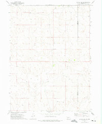
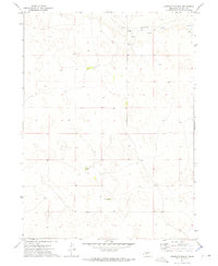
1972 Map of Big Bald Hill SE
USGS Topo · Published 1975About this map
Keith Co and Lincoln Co meet in this 1970s survey of the Nebraska sandhills, a landscape defined by its rolling topography and sparse human footprint. The primary landmark of this rural region is Glen Echo Ch, situated near the center of the sheet and serving as a focal point for the surrounding ranching community. The map illustrates a country largely shaped by its hydrology and livestock needs, specifically noting several Well locations and a network of secondary and unimproved roads that trace the valleys between the high dunes. This survey captures the area at a moment when traditional land use patterns remained dominant across the county line, providing a precise record of the isolated structures and boundaries that define this portion of the Great Plains.
Find a feature on this map
3 named features on this map. Tap any name to fly to it.
Don’t see what you’re looking for? This feature index may not catch every label — zoom into the map to look around manually.
Map Details
Editions of this 1972 Big Bald Hill SE Map
This is the sole edition of this map. No revisions or reprints were ever made.
Other maps of this area

1898 · Paxton
USGS Topo · 1:125,000

1901 · Paxton
USGS Topo · 1:125,000

1954 · North Platte
USGS Topo · 1:250,000

1956 · North Platte
USGS Topo · 1:250,000

1957 · North Platte
USGS Topo · 1:250,000

1967 · North Platte
USGS Topo · 1:250,000
1971 · Nevens
USGS Topo · 1:24,000
1971 · Paxton North
USGS Topo · 1:24,000
1971 · Sutherland Reservoir NW
USGS Topo · 1:24,000
1972 · Applegate Ranch
USGS Topo · 1:24,000