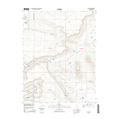
2014 Map of Big Bend
USGS Topo · Published 2014About this map
Colorado River carved canyons and distinctive geological formations dominate this landscape, where the river winds through several named whitewater sections including White Rapids, Rocky Rapids, and Professor Creek Rapids. The northeast corner of Arches National Park is visible, featuring landmarks like the Delicate Rock Settee. The settlement of Castle Valley sits in the shadows of Parriott Mesa and the expansive Porcupine Rim, reflecting a late-twentieth-century development pattern centered on the fertile valley floor along Castle Creek.
Find a feature on this map
51 named features on this map. Tap any name to fly to it.
Don’t see what you’re looking for? This feature index may not catch every label — zoom into the map to look around manually.
Map Details
Editions of this 2014 Big Bend Map
This is the sole edition of this map. No revisions or reprints were ever made.
Other maps of this area

1885 · La Sal
USGS Topo · 1:250,000

1954 · Mt. Waas 3 NE
USGS Topo · 1:24,000

1954 · Mt. Waas 3 SE
USGS Topo · 1:24,000

1954 · Mt. Waas 3 NW
USGS Topo · 1:24,000

1954 · Mt. Waas 3 SW
USGS Topo · 1:24,000

1954 · Castle Valley
USGS Topo · 1:62,500

1955 · Mt. Waas 2 SE
USGS Topo · 1:24,000

1956 · Moab
USGS Topo · 1:250,000

1958 · Thompson
USGS Topo · 1:62,500

1958 · Cisco
USGS Topo · 1:62,500