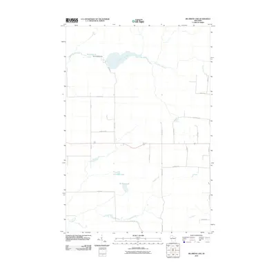
2010 Map of Big Briens Lake
USGS Topo · Published 2010About this map
The South Fork Jump River winds through this Northwoods landscape, punctuated by the Moyle 2WP978 Dam and Moyle Lake 35. The terrain is defined by its hydrology, with Douglas Creek and Knox Creek carving paths through a patchwork of rural land. Significant water bodies like Big Briens Lake and Little Briens Lake anchor the central portion of the map, surrounded by a grid of local access roads that hint at the area's recreational and residential character.
Find a feature on this map
24 named features on this map. Tap any name to fly to it.
Don’t see what you’re looking for? This feature index may not catch every label — zoom into the map to look around manually.
Map Details
Editions of this 2010 Big Briens Lake Map
This is the sole edition of this map. No revisions or reprints were ever made.
Other maps of this area

1941 · Phillips
USGS Topo · 1:48,000

1941 · Brantwood
USGS Topo · 1:48,000

1943 · Philliips
USGS Topo · 1:48,000

1943 · Brantwood
USGS Topo · 1:48,000

1944 · Ogema
USGS Topo · 1:48,000

1945 · Rib Lake
USGS Topo · 1:48,000

1947 · Rib Lake
USGS Topo · 1:48,000

1947 · Ogema
USGS Topo · 1:48,000

1949 · Ogema
USGS Topo · 1:48,000

1949 · Rib Lake
USGS Topo · 1:48,000