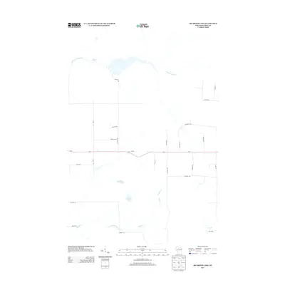
2013 Map of Big Briens Lake
USGS Topo · Published 2013About this map
Big Briens Lake and its smaller neighbor, Little Briens Lake, anchor the central terrain of this Price County landscape. The area is defined by a dense network of tributaries including Douglas Creek and Knox Cr, which feed into the meandering course of the South Fork Jump River in the north. The rural character of the region is reflected in a grid of local roads often bearing the names of early resident families, such as Knewtson Rd, Lustila Rd, and Nyberg Hill Rd. Bisecting the quadrangle, Us-8 serves as the primary east-west corridor, connecting these timbered tracts and glacial waters. To the northwest, Moyle Lake 35 sits near the river's edge, highlighting the marshy transition zones that characterize this portion of northern Wisconsin during the early twenty-first century.
Find a feature on this map
29 named features on this map. Tap any name to fly to it.
Don’t see what you’re looking for? This feature index may not catch every label — zoom into the map to look around manually.
Map Details
Editions of this 2013 Big Briens Lake Map
This is the sole edition of this map. No revisions or reprints were ever made.
Other maps of this area

1941 · Phillips
USGS Topo · 1:48,000

1941 · Brantwood
USGS Topo · 1:48,000

1943 · Philliips
USGS Topo · 1:48,000

1943 · Brantwood
USGS Topo · 1:48,000

1944 · Ogema
USGS Topo · 1:48,000

1945 · Rib Lake
USGS Topo · 1:48,000

1947 · Rib Lake
USGS Topo · 1:48,000

1947 · Ogema
USGS Topo · 1:48,000

1949 · Ogema
USGS Topo · 1:48,000

1949 · Rib Lake
USGS Topo · 1:48,000