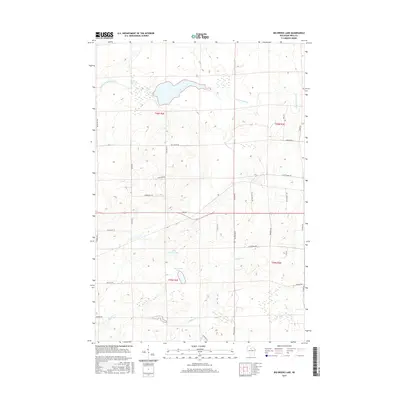
2015 Map of Big Briens Lake
USGS Topo · Published 2015About this map
Big Briens Lake and its smaller neighbor, Little Briens Lake, sit at the center of this hydrographic landscape in northern Wisconsin. The South Fork Jump River meanders across the northern portion of the quadrangle, joined by smaller tributaries like Douglas Creek and Knox Creek. The network of roads reveals the region's agricultural and logging layout, with many routes following the section lines of the Public Land Survey System. Noteworthy local identifiers such as Mail Route Rd and Chicago Ave suggest the historical connectivity of this rural area. The terrain is marked by numerous wetlands and small basins, characteristic of the glacial till landscape in Price County, providing a clear record of the drainage patterns and land use in the mid-2010s.
Find a feature on this map
35 named features on this map. Tap any name to fly to it.
Don’t see what you’re looking for? This feature index may not catch every label — zoom into the map to look around manually.
Map Details
Editions of this 2015 Big Briens Lake Map
This is the sole edition of this map. No revisions or reprints were ever made.
Other maps of this area

1941 · Phillips
USGS Topo · 1:48,000

1941 · Brantwood
USGS Topo · 1:48,000

1943 · Philliips
USGS Topo · 1:48,000

1943 · Brantwood
USGS Topo · 1:48,000

1944 · Ogema
USGS Topo · 1:48,000

1945 · Rib Lake
USGS Topo · 1:48,000

1947 · Rib Lake
USGS Topo · 1:48,000

1947 · Ogema
USGS Topo · 1:48,000

1949 · Ogema
USGS Topo · 1:48,000

1949 · Rib Lake
USGS Topo · 1:48,000