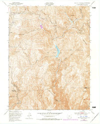
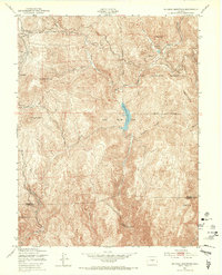
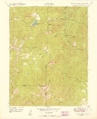
1951 Map of Big Bull Mountain
USGS Topo · Published 1978About this map
Goldfield and its surrounding Mining Area dominate the northwestern high country of this 1950s survey, representing the industrial legacy of the Cripple Creek mining district. The terrain is marked by a complex network of utility infrastructure, including a Pipe Line and Telephone Line that traverse the ridges toward the Skagway Reservoir. To the south, the landscape drops precipitously into the dramatic depths of Phantom Canyon, where the East Beaver Cr flows past a remote Power Plant and unidentified Ruins near the base of Nipple Mountain. This map captures the transition from the active mining heights to the isolated ranching and utility corridors of the Pike National Forest. Travel through the area is defined by historical routes like the Old Stage Road, which snakes through the granite formations of Cathedral Park toward the small settlement of Clyde.
Find a feature on this map
30 named features on this map. Tap any name to fly to it.
Don’t see what you’re looking for? This feature index may not catch every label — zoom into the map to look around manually.
Map Details
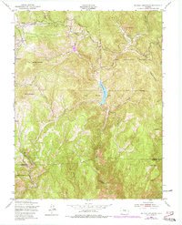
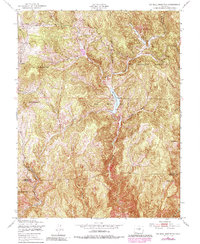
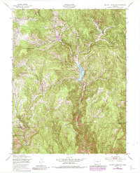
Editions of this 1951 Big Bull Mountain Map
8 editions found
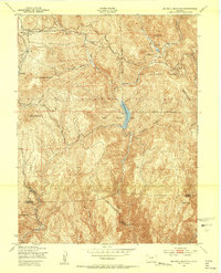
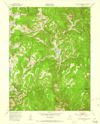
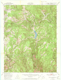
Other maps of this area

1893 · Colorado Springs
USGS Topo · 1:125,000

1894 · Pikes Peak
USGS Topo · 1:125,000

1901 · Pikes Peak
USGS Topo · 1:125,000

1901 · Pikes Peak
USGS Topo · 1:62,500

1909 · Colorado Springs
USGS Topo · 1:125,000

1942 · Colorado Springs
USGS Topo · 1:125,000
1948 · Mount Big Chief
USGS Topo · 1:24,000

1948 · Mount Pittsburg
USGS Topo · 1:24,000
1948 · Manitou Springs
USGS Topo · 1:24,000

1948 · Colorado Springs
USGS Topo · 1:62,500