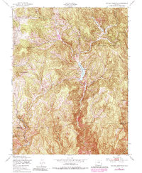
1951 Map of Big Bull Mountain
USGS Topo · Published 1985About this map
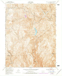
The Pike National Forest dominates this high-elevation landscape in the early 1950s, revealing a region defined by its rugged topography and industrial history. Just east of the mining hub of Victor, the settlement of Goldfield sits near a designated Mining Area at the base of Big Bull Mountain, illustrating the persistent reach of Teller County's mineral extraction era. The drainage patterns of Middle Beaver Creek and West Beaver Creek converge at the Skagway Reservoir, while the presence of Ruins and the old Telephone Line near Clyde suggest the fading footprint of earlier infrastructure. To the south, the terrain falls away toward Lower Beaver Park and the deep cut of Phantom Canyon, where the Teller Co Fremont Co boundary line marks the transition into the neighboring county's high desert reaches.
Find a feature on this map
30 named features on this map. Tap any name to fly to it.
Don’t see what you’re looking for? This feature index may not catch every label — zoom into the map to look around manually.
Map Details
Editions of this 1951 Big Bull Mountain Map
8 editions found

Other maps of this area

1893 · Colorado Springs
USGS Topo · 1:125,000

1894 · Pikes Peak
USGS Topo · 1:125,000

1901 · Pikes Peak
USGS Topo · 1:125,000

1901 · Pikes Peak
USGS Topo · 1:62,500

1909 · Colorado Springs
USGS Topo · 1:125,000

1942 · Colorado Springs
USGS Topo · 1:125,000

1948 · Mount Big Chief
USGS Topo · 1:24,000

1948 · Mount Pittsburg
USGS Topo · 1:24,000

1948 · Manitou Springs
USGS Topo · 1:24,000

1948 · Colorado Springs
USGS Topo · 1:62,500