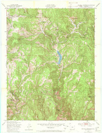
1951 Map of Big Bull Mountain
USGS Topo · Published 1970About this map
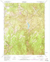
Goldfield and the nearby Mining Area anchor the northwestern portion of this 1950s survey, marking a landscape defined by extractive industry and high-altitude water management. The drainage network of Beaver Creek and its many branches, including West Beaver Creek and Middle Beaver Creek, converges at the Skagway Reservoir, which serves as a central hub for the area's geography. Downstream, a Power Plant reflects the early industrial infrastructure utilized to support the region's operations.
Find a feature on this map
26 named features on this map. Tap any name to fly to it.
Don’t see what you’re looking for? This feature index may not catch every label — zoom into the map to look around manually.
Map Details
Editions of this 1951 Big Bull Mountain Map
8 editions found

Other maps of this area

1893 · Colorado Springs
USGS Topo · 1:125,000

1894 · Pikes Peak
USGS Topo · 1:125,000

1901 · Pikes Peak
USGS Topo · 1:125,000

1901 · Pikes Peak
USGS Topo · 1:62,500

1909 · Colorado Springs
USGS Topo · 1:125,000

1942 · Colorado Springs
USGS Topo · 1:125,000

1948 · Mount Big Chief
USGS Topo · 1:24,000

1948 · Mount Pittsburg
USGS Topo · 1:24,000

1948 · Manitou Springs
USGS Topo · 1:24,000

1948 · Colorado Springs
USGS Topo · 1:62,500