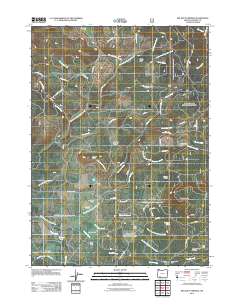
2011 Map of Big Butte Springs
USGS Topo · Published 2011About this map
Rogue River National Frst encompasses much of this landscape in eastern Jackson County, where a network of forest roads and historical ranching properties define the local geography. The map traces the path of the Medco Railroad as it cuts through the northwestern sector, a reminder of the region's industrial timber heritage. Notable family and livestock sites such as Thomson Ranch, Goss Ranch, and Sheep Camp are situated among distinct terrain features like Merle Burn and the Northern Glades. In the southern portion, the Mount Pitt School stands near the important hydrological resource of Big Butte Springs, which feeds into a complex system of waterways including South Fork Big Butte Creek and Fourbit Creek. This 2011 survey provides a clear view of how public land management and private holdings intersect at landmarks like Fourbit Ford and the Doug Ingram Tree.
Find a feature on this map
59 named features on this map. Tap any name to fly to it.
Don’t see what you’re looking for? This feature index may not catch every label — zoom into the map to look around manually.
Map Details
Editions of this 2011 Big Butte Springs Map
This is the sole edition of this map. No revisions or reprints were ever made.
Other maps of this area

1891 · Ashland
USGS Topo · 1:250,000

1893 · Ashland
USGS Topo · 1:250,000

1897 · Ashland
USGS Topo · 1:250,000

1938 · Medford
USGS Topo · 1:125,000

1954 · Butte Falls
USGS Topo · 1:62,500

1954 · Lakecreek
USGS Topo · 1:62,500

1955 · Rustler Peak
USGS Topo · 1:62,500

1955 · Mt. Mc Loughlin
USGS Topo · 1:62,500

1955 · Medford
USGS Topo · 1:250,000

1957 · Medford
USGS Topo · 1:250,000