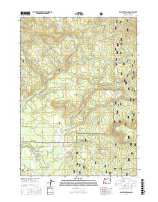
2017 Map of Big Butte Springs
USGS Topo · Published 2017About this map
Big Butte Springs and the surrounding drainage basins of the Rogue River National Forest define this 2017 study of Jackson County. The terrain is characterized by a complex network of tributaries feeding into the N Fork Big Butte Cr and the South Fork Big Butte Creek. High points such as Grouse Ridge and Oak Mtn overlook the Northern Glades, while numerous water sources like Blue Cow Spring and Mud Spring are identified throughout the timbered landscape. The infrastructure is primarily composed of a dense grid of forestry and service roads, including Goss Rd, Rancheria Rd, and the Butte Falls-Prospect Rd. The presence of Trefen Mill Rd suggests the historical importance of the local timber industry in navigating these high-elevation valleys.
Find a feature on this map
60 named features on this map. Tap any name to fly to it.
Don’t see what you’re looking for? This feature index may not catch every label — zoom into the map to look around manually.
Map Details
Editions of this 2017 Big Butte Springs Map
This is the sole edition of this map. No revisions or reprints were ever made.
Other maps of this area

1891 · Ashland
USGS Topo · 1:250,000

1893 · Ashland
USGS Topo · 1:250,000

1897 · Ashland
USGS Topo · 1:250,000

1938 · Medford
USGS Topo · 1:125,000

1954 · Butte Falls
USGS Topo · 1:62,500

1954 · Lakecreek
USGS Topo · 1:62,500

1955 · Rustler Peak
USGS Topo · 1:62,500

1955 · Mt. Mc Loughlin
USGS Topo · 1:62,500

1955 · Medford
USGS Topo · 1:250,000

1957 · Medford
USGS Topo · 1:250,000