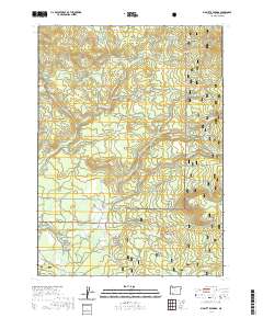
2020 Map of Big Butte Springs
USGS Topo · Published 2020About this map
Big Butte Springs serves as a critical hydrological focal point in this portion of the Rogue River National Forest. The landscape is defined by its complex water management and industrial history, evidenced by the Medford Aqueduct and the legacy of the Medco Railroad Grade. These features trace the movement of timber and water through the drainage basins of North Fork Big Butte Creek and South Fork Big Butte Creek. High ground is marked by prominent landforms such as Grouse Ridge and Oak Mountain, while the Northern Glades suggest distinct ecological clearings. Local road networks like Lodgepole Rd and Butte Falls Prospect Rd provide access through the timbered sections, connecting remote springs like Mud Spring and Blue Cow Spring to the broader regional infrastructure.
Find a feature on this map
47 named features on this map. Tap any name to fly to it.
Don’t see what you’re looking for? This feature index may not catch every label — zoom into the map to look around manually.
Map Details
Editions of this 2020 Big Butte Springs Map
This is the sole edition of this map. No revisions or reprints were ever made.
Other maps of this area

1891 · Ashland
USGS Topo · 1:250,000

1893 · Ashland
USGS Topo · 1:250,000

1897 · Ashland
USGS Topo · 1:250,000

1938 · Medford
USGS Topo · 1:125,000

1954 · Butte Falls
USGS Topo · 1:62,500

1954 · Lakecreek
USGS Topo · 1:62,500

1955 · Rustler Peak
USGS Topo · 1:62,500

1955 · Mt. Mc Loughlin
USGS Topo · 1:62,500

1955 · Medford
USGS Topo · 1:250,000

1957 · Medford
USGS Topo · 1:250,000