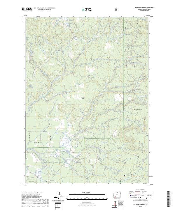
2023 Map of Big Butte Springs
USGS Topo · Published 2023About this map
Rogue River National Forest defines this landscape in Jackson County, where a dense network of watercourses and forest service roads converges. The southern portion of the map is dominated by the Medford Aqueduct, which channels vital water resources through the terrain near Willow Creek. This infrastructure underscores the region's historical reliance on gravity-fed water systems for down-valley communities. Significant peaks and depressions like Grouse Ridge and Northern Glades break the forested slopes, while the Medco Railroad Grade serves as a tangible reminder of the timber industry's legacy and the logging rail networks that once moved wood across these mountains.
Find a feature on this map
49 named features on this map. Tap any name to fly to it.
Don’t see what you’re looking for? This feature index may not catch every label — zoom into the map to look around manually.
Map Details
Editions of this 2023 Big Butte Springs Map
This is the sole edition of this map. No revisions or reprints were ever made.
Other maps of this area

1891 · Ashland
USGS Topo · 1:250,000

1893 · Ashland
USGS Topo · 1:250,000

1897 · Ashland
USGS Topo · 1:250,000

1938 · Medford
USGS Topo · 1:125,000

1954 · Butte Falls
USGS Topo · 1:62,500

1954 · Lakecreek
USGS Topo · 1:62,500

1955 · Rustler Peak
USGS Topo · 1:62,500

1955 · Mt. Mc Loughlin
USGS Topo · 1:62,500

1955 · Medford
USGS Topo · 1:250,000

1957 · Medford
USGS Topo · 1:250,000