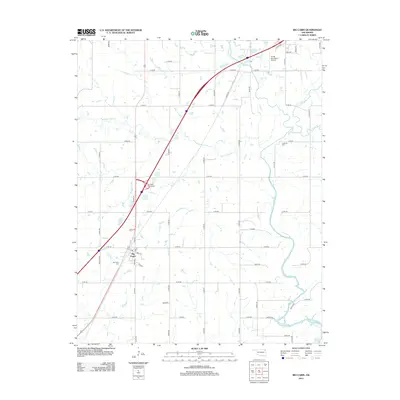
2012 Map of Big Cabin
USGS Topo · Published 2012About this map
Big Cabin sits at the intersection of regional transit and local history in northeastern Oklahoma. The landscape is defined by the winding course of Big Cabin Cr and its tributaries, including White Oak Cr, Bull Cr, and Little Cabin Cr, which carve through a grid of rural roads and section lines. The presence of the Big Cabin Interchange and the proximity of the Vinita Municipal Airport at the northern edge of the sheet illustrate the area's role as a transportation corridor during the early 21st century.
Find a feature on this map
54 named features on this map. Tap any name to fly to it.
Don’t see what you’re looking for? This feature index may not catch every label — zoom into the map to look around manually.
Map Details
Editions of this 2012 Big Cabin Map
This is the sole edition of this map. No revisions or reprints were ever made.
Other maps of this area

1896 · Pryor
USGS Topo · 1:125,000

1901 · Vinita
USGS Topo · 1:125,000

1901 · Pryor
USGS Topo · 1:125,000

1913 · Vinita
USGS Topo · 1:125,000

1954 · Tulsa
USGS Topo · 1:250,000

1958 · Tulsa
USGS Topo · 1:250,000

1963 · Tulsa
USGS Topo · 1:250,000

1969 · Adair
USGS Topo · 1:24,000

1970 · White Oak
USGS Topo · 1:24,000
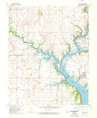
1971 · Strang
USGS Topo · 1:24,000