
1969 Map of Big Canyon Ranch
USGS Topo · Published 1972About this map
Downie Draw carves a deep path across this landscape, serving as the primary drainage feature in a region defined by isolation and high desert ranching. At the end of the 1960s, the terrain was dominated by large private holdings such as the Big Canyon Ranch and Hagelslein Ranch, where life centered on the sparse water sources and the occasional Corral. An Indefinite Boundary and the line for Pecos Co Terrell Co cut across the northwest, reflecting the complexities of surveying this remote Texas borderland. The presence of smaller named points like Russell and Dudley Ranch suggests a network of family-operated livestock operations that relied on the seasonal flow of the draws and the scattered wells drilled into the limestone substrate. This map offers a technical look at the land use and topographic character of the Trans-Pecos region before modern infrastructure further altered the historic ranching boundaries.
Find a feature on this map
9 named features on this map. Tap any name to fly to it.
Don’t see what you’re looking for? This feature index may not catch every label — zoom into the map to look around manually.
Map Details
Editions of this 1969 Big Canyon Ranch Map
This is the sole edition of this map. No revisions or reprints were ever made.
Other maps of this area

1928 · Sanderson
USGS Topo · 1:125,000

1954 · Fort Stockton
USGS Topo · 1:250,000

1958 · Fort Stockton
USGS Topo · 1:250,000

1969 · Circle Dot Ranch
USGS Topo · 1:24,000

1969 · Sanderson
USGS Topo · 1:24,000

1969 · Big Canyon Ranch NW
USGS Topo · 1:24,000
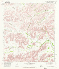
1969 · Big Canyon Ranch SW
USGS Topo · 1:24,000

1969 · Dryden NW
USGS Topo · 1:24,000
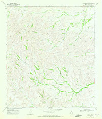
1969 · Sanderson NE
USGS Topo · 1:24,000
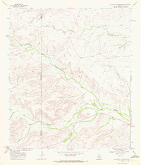
1969 · Big Canyon Ranch NE
USGS Topo · 1:24,000