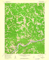
1958 Map of Big Chimney
USGS Topo · Published 1960About this map
The Elk River winds through the heart of this Kanawha County landscape, serving as a vital corridor for the Baltimore and Ohio Railroad and settlements like Big Chimney and Milliken. In the late 1950s, the southern portion of the area shows significant infrastructure developments, most notably the Kanawha Airport and the neighboring Coonskin Park. The map reveals a deeply dissected terrain where communities and family landmarks are tucked into narrow valleys and along creek forks. Genealogists may find value in the specific placement of rural institutions such as the McKinley Sch, Griffith Chapel, and the Burdette-Walker Cem. Away from the river, the hills are marked by extraction activities, including various Mines and Strip Mine sites, while numerous Gas Well and Oil Well labels point to the region's active energy economy during this era.
Find a feature on this map
73 named features on this map. Tap any name to fly to it.
Don’t see what you’re looking for? This feature index may not catch every label — zoom into the map to look around manually.
Map Details
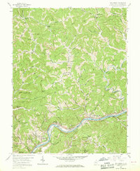
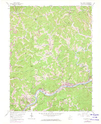
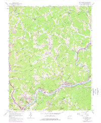
Editions of this 1958 Big Chimney Map
4 editions found
Other maps of this area

1897 · Kanawha Falls
USGS Topo · 1:125,000

1899 · Charleston
USGS Topo · 1:125,000

1900 · Kanawha Falls
USGS Topo · 1:125,000

1901 · Kanawha Falls
USGS Topo · 1:125,000

1906 · Kenna
USGS Topo · 1:62,500

1906 · Walton
USGS Topo · 1:62,500

1907 · Kenna
USGS Topo · 1:62,500

1907 · Walton
USGS Topo · 1:62,500

1907 · Clendenin
USGS Topo · 1:62,500

1909 · Charleston
USGS Topo · 1:62,500