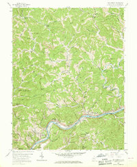
1958 Map of Big Chimney
USGS Topo · Published 1968About this map
The Elk River serves as the central artery for this portion of Kanawha County, where the industrial and transportation infrastructure of the late 1950s is on full display. The river valley is shared by the Baltimore and Ohio and New York Central railroads, which parallel the water through settlements like Big Chimney (Clyde), Milliken, and Bream. Away from the river, the landscape is defined by steep ridges and a dense network of creek forks, including Coopers Fork and Aarons Fork.
Find a feature on this map
70 named features on this map. Tap any name to fly to it.
Don’t see what you’re looking for? This feature index may not catch every label — zoom into the map to look around manually.
Map Details
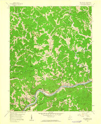
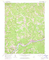
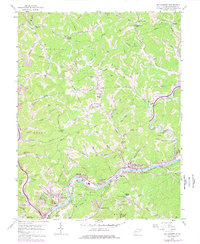
Editions of this 1958 Big Chimney Map
4 editions found
Other maps of this area

1897 · Kanawha Falls
USGS Topo · 1:125,000

1899 · Charleston
USGS Topo · 1:125,000

1900 · Kanawha Falls
USGS Topo · 1:125,000

1901 · Kanawha Falls
USGS Topo · 1:125,000

1906 · Kenna
USGS Topo · 1:62,500

1906 · Walton
USGS Topo · 1:62,500

1907 · Kenna
USGS Topo · 1:62,500

1907 · Walton
USGS Topo · 1:62,500

1907 · Clendenin
USGS Topo · 1:62,500

1909 · Charleston
USGS Topo · 1:62,500