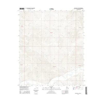
2016 Map of Big Delta C-3 NE
USGS Topo · Published 2016About this map
The Salcha River dominates the southern reaches of this interior landscape, weaving through a network of drainage basins that define the Fairbanks North Star Borough's wilderness. Several significant tributaries converge here, including Stone Boys Tent Cr and Lower Boulder Cr, which feed the main river from the north and east. The terrain is structured by a series of prominent creeks that have carved distinct valleys across the township lines, notably Big Granite Cr and Little Granite Cr.
Find a feature on this map
13 named features on this map. Tap any name to fly to it.
Don’t see what you’re looking for? This feature index may not catch every label — zoom into the map to look around manually.
Map Details
Editions of this 2016 Big Delta C-3 NE Map
This is the sole edition of this map. No revisions or reprints were ever made.
Other maps of this area

1950 · Big Delta
USGS Topo · 1:250,000

1951 · Big Delta
USGS Topo · 1:250,000

1958 · Big Delta C-3
USGS Topo · 1:63,360

1958 · Big Delta D-3
USGS Topo · 1:63,360

1958 · Big Delta D-2
USGS Topo · 1:63,360

1958 · Big Delta C-2
USGS Topo · 1:63,360

1958 · Big Delta
USGS Topo · 1:250,000
1973 · Big Delta D-3
USGS Topo · 1:63,360
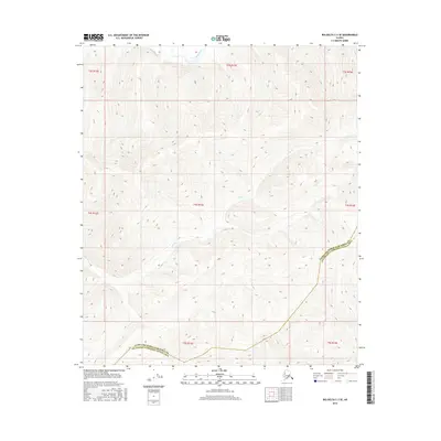
2016 · Big Delta C-3 SE
USGS Topo · 1:25,000
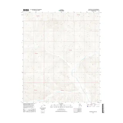
2016 · Big Delta D-3 SW
USGS Topo · 1:25,000