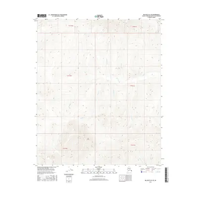
2016 Map of Big Delta D-4 SE
USGS Topo · Published 2016About this map
The Butte serves as a prominent landmark in this corner of the Fairbanks North Star Borough, rising above a network of waterways that define the local drainage patterns. The landscape is characterized by a dense concentration of creek systems, including the headwaters and runs of Gold Cr, Wickersham Cr, and Little Gold Cr. The names of these tributaries, such as Bluestone Cr, Quartz Cr, and Bonanza Cr, reflect a geography deeply tied to the region's mineral history and prospecting legacy. This 2016 survey captures the area within several townships, including t1s r11e and t2s r10e, where the terrain transitions from high ridges down to the valleys of Graystone Cr and Eldorado Cr. The map provides a contemporary record of these remote Alaskan drainages before natural shifts or future land use changes the face of the borough.
Find a feature on this map
17 named features on this map. Tap any name to fly to it.
Don’t see what you’re looking for? This feature index may not catch every label — zoom into the map to look around manually.
Map Details
Editions of this 2016 Big Delta D-4 SE Map
This is the sole edition of this map. No revisions or reprints were ever made.
Other maps of this area

1950 · Big Delta
USGS Topo · 1:250,000

1951 · Big Delta
USGS Topo · 1:250,000

1958 · Big Delta C-4
USGS Topo · 1:63,360

1958 · Big Delta D-4
USGS Topo · 1:63,360

1958 · Big Delta C-3
USGS Topo · 1:63,360

1958 · Big Delta D-3
USGS Topo · 1:63,360

1958 · Big Delta
USGS Topo · 1:250,000
1973 · Big Delta D-3
USGS Topo · 1:63,360
2016 · Big Delta D-3 NW
USGS Topo · 1:25,000
2016 · Big Delta D-3 SW
USGS Topo · 1:25,000