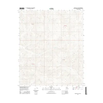
2016 Map of Big Delta D-3 NW
USGS Topo · Published 2016About this map
Teuchet Creek winds across the center of this interior Alaska landscape, defining the drainage patterns of the Fairbanks North Star Borough. The terrain is characterized by a series of parallel watercourses including Shamrock Creek and Ohio Creek, which flow through the survey townships of t2n r12e and t1n r12e. This 2016 survey documents the precise elevation contours and hydrographic features of the region, where family-named and descriptive landmarks like Sullivan Creek and Palmer Creek mark the uninhabited backcountry. The network of creeks and ridges shown here provides a detailed view of the natural topography in the Big Delta quadrangle before further development or landscape shifts.
Find a feature on this map
10 named features on this map. Tap any name to fly to it.
Don’t see what you’re looking for? This feature index may not catch every label — zoom into the map to look around manually.
Map Details
Editions of this 2016 Big Delta D-3 NW Map
This is the sole edition of this map. No revisions or reprints were ever made.
Other maps of this area

1950 · Big Delta
USGS Topo · 1:250,000

1951 · Big Delta
USGS Topo · 1:250,000

1951 · Circle
USGS Topo · 1:250,000

1952 · Circle A-4
USGS Topo · 1:63,360

1955 · Circle A-3
USGS Topo · 1:63,360

1955 · Circle
USGS Topo · 1:250,000

1958 · Big Delta D-4
USGS Topo · 1:63,360

1958 · Big Delta D-3
USGS Topo · 1:63,360

1958 · Big Delta
USGS Topo · 1:250,000

1964 · Circle
USGS Topo · 1:250,000