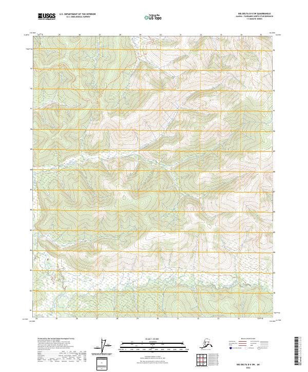
2024 Map of Big Delta D-5 SW
USGS Topo · Published 2024About this map
The South Fork Chena River winds through the southern reaches of this landscape, marking a drainage system that has historically drawn miners and explorers into the Fairbanks North Star Borough. The terrain is defined by a dense network of high-elevation watercourses, including Mastodon Creek and Marten Creek, which flow through deep valleys and between prominent ridgelines. The only established path through the northern section is the Mastodon Trl, a route that hints at the historic gold-seeking activity of the interior. The southeastern corner is anchored by the headwaters of Beaver Creek, where the geography transitions into complex wetland patterns near the riverbanks. This 2024 survey documents the hydrography and primitive trail networks of a region defined more by its natural water-carved corridors than by modern infrastructure.
Find a feature on this map
14 named features on this map. Tap any name to fly to it.
Don’t see what you’re looking for? This feature index may not catch every label — zoom into the map to look around manually.
Map Details
Editions of this 2024 Big Delta D-5 SW Map
This is the sole edition of this map. No revisions or reprints were ever made.
Other maps of this area

1949 · Big Delta C-6
USGS Topo · 1:63,360

1950 · Big Delta
USGS Topo · 1:250,000

1950 · Big Delta D-6
USGS Topo · 1:63,360

1951 · Big Delta
USGS Topo · 1:250,000

1952 · Big Delta C-6
USGS Topo · 1:63,360

1952 · Big Delta D-6
USGS Topo · 1:63,360

1958 · Big Delta C-5
USGS Topo · 1:63,360

1958 · Big Delta D-5
USGS Topo · 1:63,360

1958 · Big Delta
USGS Topo · 1:250,000
2016 · Big Delta C-5 NW
USGS Topo · 1:25,000