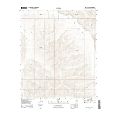
2016 Map of Big Delta D-6 SE
USGS Topo · Published 2016About this map
The S Fork Chena River flows across the northern reaches of this interior landscape, where the drainage networks of Hunts Cr and Globe Cr carve through the elevation. This 2016 survey captures the area within the Alaska-Fairbanks North Star Borough during an era of modern topographic documentation. A distinctive element of the local transport history is the S Fork Winter route, a seasonal path providing access through the terrain when conditions allow. The map is further defined by Mastodon, a prominent topographical feature in the northeast corner that overlooks the branching waterways. The absence of permanent settlements or structures highlights the wilderness character of this portion of the Big Delta region.
Find a feature on this map
6 named features on this map. Tap any name to fly to it.
Don’t see what you’re looking for? This feature index may not catch every label — zoom into the map to look around manually.
Map Details
Editions of this 2016 Big Delta D-6 SE Map
This is the sole edition of this map. No revisions or reprints were ever made.
Other maps of this area

1949 · Big Delta C-6
USGS Topo · 1:63,360

1950 · Big Delta
USGS Topo · 1:250,000

1950 · Big Delta D-6
USGS Topo · 1:63,360

1951 · Big Delta
USGS Topo · 1:250,000

1952 · Big Delta C-6
USGS Topo · 1:63,360

1952 · Big Delta D-6
USGS Topo · 1:63,360

1958 · Big Delta C-5
USGS Topo · 1:63,360

1958 · Big Delta D-5
USGS Topo · 1:63,360

1958 · Big Delta
USGS Topo · 1:250,000
1992 · Big Delta D-6 SW
USGS Topo · 1:25,000