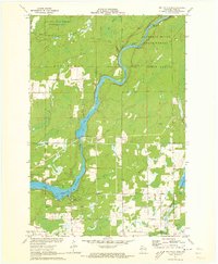
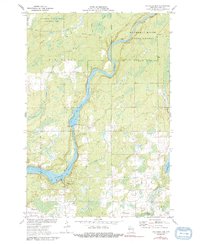
1971 Map of Big Falls Dam
USGS Topo · Published 1973About this map
The Flambeau River carves through Rusk County, defined here by industrial hydro-electric development and timbered wilderness. The landscape is dominated by the Flambeau Flowage and Flambeau Reservoir, created by the Big Falls Dam and its adjacent Powerplant. This mid-century view shows a transition from the structured recreational and conservation areas of the Flambeau River State Forest and Silvernail State Wildlife Management Area to the rural townships of Dewey and True.
Find a feature on this map
34 named features on this map. Tap any name to fly to it.
Don’t see what you’re looking for? This feature index may not catch every label — zoom into the map to look around manually.
Map Details
Editions of this 1971 Big Falls Dam Map
2 editions found
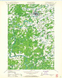
Other maps of this area

1944 · Exeland
USGS Topo · 1:48,000

1945 · Ingram
USGS Topo · 1:48,000

1947 · Exeland
USGS Topo · 1:48,000

1947 · Ingram
USGS Topo · 1:48,000

1947 · Sheldon
USGS Topo · 1:48,000
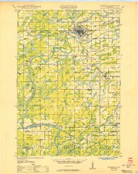
1948 · Ladysmith
USGS Topo · 1:48,000

1949 · Sheldon
USGS Topo · 1:48,000
1950 · Ladysmith
USGS Topo · 1:48,000

1953 · Rice Lake
USGS Topo · 1:250,000

1959 · Rice Lake
USGS Topo · 1:250,000